Current Affairs (16th February 2021)
GEO-SPATIAL SECTOR
CONTEXT:
- The Ministry of Science and Technology recently released new guidelines for the Geo-spatial sector in India, which deregulates existing protocol and liberalises the sector to a more competitive field.
ABOUT:
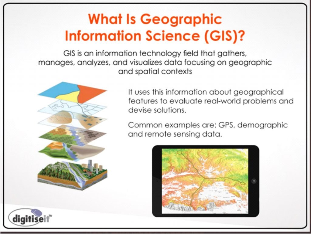
- Geospatial data is data about objects, events, or phenomena that have a location on the surface of the earth.
- The location may be static in the short-term, like the location of a road, an earthquake event, malnutrition among children, or dynamic like a moving vehicle or pedestrian, the spread of an infectious disease.
- Geospatial data combines:
- Location information
- Attribute information (the characteristics of the object, event, or phenomena concerned)
- Temporal information or the time at which the location and attributes exist
- Geo-spatial data involves information of public interest like roads, localities, rail lines, water bodies, and public amenities.
- The past decade has seen an increase in the use of geo-spatial data in daily life with various apps such as food delivery apps like Swiggy or Zomato, e-commerce like Amazon or even weather apps.

PRESENT POLICY
- There are strict restrictions on the collection, storage, use, sale, dissemination of geo-spatial data and mapping under the current regime.
- The policy had not been renewed in decades and has been driven by internal as well as external security concerns.
- The sector so far is dominated by the Indian government as well as government-run agencies such as the Survey of India.
- Private companies need to navigate a system of permissions from different departments of the government (depending on the kind of data to be created) as well as the defence and Home Ministries, to be able to collect, create or disseminate geo-spatial data.
- Geo-spatial data collection was the prerogative of the defence forces and the government as it was initially conceptualised as a matter solely concerned with security.
- GIS mapping was also rudimentary, with the government investing heavily in it after the Kargil war highlighted the dependence on foreign data and the need for indigenous sources of data.
DEREGUALTED GEO-SPATIAL DATA
- This system of acquiring licenses or permission, and the red tape involved, can take months, delaying projects, especially those that are in mission mode – for both Indian companies as well as government agencies.
- The deregulation eliminates the requirement of permissions as well as scrutiny, even for security concerns.
- Indian companies now can self-attest, conforming to government guidelines without actually having to be monitored by a government agency- these guidelines therefore place a great deal of trust in Indian entities.
- There is also a huge lack of data in the country which impedes planning for infrastructure, development and businesses which are data-based.
- The mapping of the entire country, that too with high accuracy, by the Indian government alone could take decades.
- The government therefore felt an urgent need to incentivise the geo-spatial sector for Indian companies and increased investment from private players in the sector.
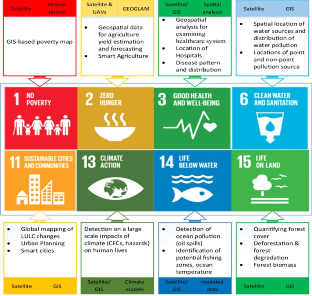
- Geo-spatial data has now become imperative for the government in planning for infrastructure, development, social development, natural calamities as well as the economy, with more and more sectors like agriculture, environment protection, power, water, transportation, communication, health (tracking of diseases, patients, hospitals etc) relying heavily on this data.
- There has also been a global push for open access to geo-spatial as it affects the lives of ordinary citizens, and the new guidelines has ensured such an open access, with the exception of sensitive defence or security-related data.
- Large amounts of geo-spatial data are also available on global platforms, which makes the regulation of data that is freely available in other countries, untenable.
IMPACT OF LIBERALISING THIS SYSTEM:
- More players in the field,
- Competitiveness of Indian companies in the global market,
- More accurate data available to both the government to formulate plans and administer, but also for individual Indians.
- Startups and businesses can now also use this data in setting up their concerns, especially in the sector of e-commerce or geo-spatial based apps – which in turn will increase employment in these sectors.
- Indian companies will be able to develop indigenous apps, for example an Indian version of google
- Increase in public-private partnerships with the opening of this sector with data collection companies working with the Indian government on various sectoral projects.
- Increase in investment in the geo-spatial sector by companies
- Increase in export of data to foreign companies and countries, which in turn will boost the economy.

Voter literacy
CONTEXT:
- The Goalpara district administration has been distributing combs and other utilitarian items of daily use, such as sanitary pads, with Systematic Voters’ Education and Electoral Participation (SVEEP) messages printed on them.
SVEEP:
- Is the flagship program of the Election Commission of India (ECI) for voter education, spreading voter awareness and promoting voter literacy in India.
- Since 2009, ECI has been working towards preparing India’s electors and equipping them with basic knowledge related to the electoral process.
- Primary goal : To build a truly participative democracy in India by encouraging all eligible citizens to vote and make an informed decision during the elections.
- The programme is based on multiple general as well as targeted interventions which are designed according to the socio-economic, cultural and demographic profile of the state as well as the history of electoral participation in previous rounds of elections and learning thereof.

‘Dickinsonia’
CONTEXT:
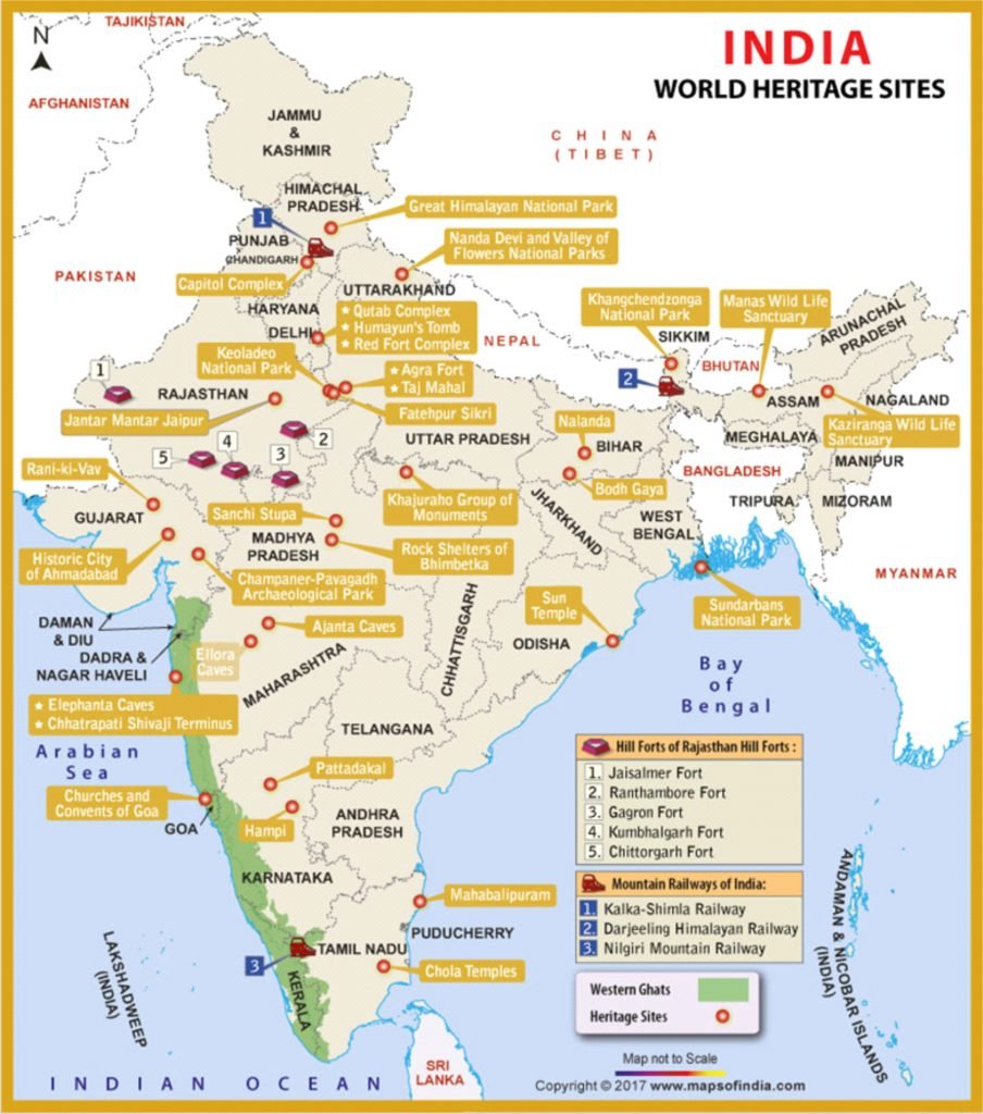
- A new discovery has been published in a journal, Gondwana Research as researchers have discovered three fossils of the earliest known living animal — the 550-million-year-old ‘Dickinsonia’ — on the roof of the Bhimbetka Rock Shelters, about 40 km from Bhopal.
NEW FINDING:
- Fossils have been from the white leaf-like patches with a central vertebra (central midrib) and connecting veins.
- One fossil is 17 inches long, the other two are much smaller.
- The new discoveries can be seen right at the beginning of the ‘Auditorium Cave’, the first of such caves at Bhimbetka, located about 3.5 metres above the ground.
- They were the only such fossils available in the country, and were similar to those seen in south Australia.
- This is further proof of the similar paleoenvironments and confirms assembly of Gondwanaland by the 550 Ma (mega annum), but not reconstructions adjusted for true polar wander.

BHIMBETKA ROCK SHELTERS:
- Archaeological site in central India that spans the prehistoric ages Paleolithic and Mesolithic periods, as well as the historic period.
- Exhibits the earliest traces of human life in India and evidence of Stone Age starting at the site in Acheulian times.
- Location: Raisen District (Bhopal, Madhya Pradesh)
- UNESCO World Heritage Site that consists of seven hills and over 750 rock shelters distributed over 10 km (6.2 mi).
- At least some of the shelters were inhabited more than 100,000 years ago. The rock shelters and caves provide evidence of a “rare glimpse” into human settlement and cultural evolution from hunter-gatherers, to agriculture, and expressions of prehistoric spirituality.
- Themes such as animals, early evidence of dance and hunting.
- Has the oldest-known rock art in India, as well as is one of the largest prehistoric complexes.

Magnetic maps
CONTEXT:
- Every year, billions of songbirds migrate thousands of miles between Europe and Africa — and then repeat that same journey again, year after year, to nest in exactly the same place that they chose on their first great journey.
- The remarkable navigational precision displayed by these tiny birds — as they travel alone over stormy seas, across vast deserts, and through extremes in weather and temperature — has been one of the enduring mysteries of behavioural biology.
- Birds buffeted by winds so much that they’re significantly displaced from their migratory route are able to realign their course if they’ve already performed one migration.
- This has suggested that birds’ navigational abilities, some of which is built around a sense of compass direction, includes a mechanism for finding their way back home from parts of the world they’ve never before visited.
- New study of Eurasian reed warblers has found that this remarkable ability involves a “magnetic map” that works like our human system of coordinates.
- Surprisingly, the study found that these birds understand the magnetic field of places thousands of miles into territory they’ve never before visited — suggesting some birds could possess a “global GPS system” that can tell them how to get home from anywhere on Earth.
MIND MAPS:
- It’s long been known that adult birds develop some sort of navigational map to help them migrate.
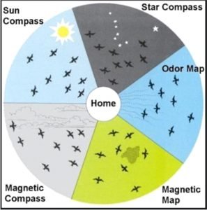
- How they do this has remained controversial. Several cues have been proposed as guides for migratory birds — including odours, infra-sound, and even variations in gravity.
- However, a gathering body of evidence has indicated that the Earth’s magnetic field is one of the likeliest solutions to this mystery.
- It has been suggested that different parameters of the Earth’s magnetic field could form a grid, which birds follow, of north-south and east-west lines.
- That’s because magnetic intensity (the strength of the magnetic field) and magnetic inclination (the angle formed between the magnetic field lines and the surface of the Earth, also called the “dip” angle) both run approximately north to south.
- Magnetic declination – the difference between the direction to the magnetic north pole and the geographical north pole — provides the east-west axis.
- Despite largely agreeing that certain birds navigate via the Earth’s magnetic field, scientists haven’t worked out precisely what sensory apparatus they use to detect it – or whether multiple systems are used to detect different parameters of the field.
- Other animals, like turtles, can also sense the magnetic field, but the same uncertainties apply.
- Regardless, if birds have learned that magnetic intensity increases as they go north, they should be able to detect their position on the north-south axis wherever they happen to be.
- Similarly, if they experience a declination value that is greater than anything they’ve previously experienced, they should know they’re further east.
- On this basis, the theory is that they can calculate their position on the grid and correct their orientation.
- This would mean that birds essentially navigate using a system similar to our Cartesian coordinates – the basis of modern GPS navigation.
- If this coordinates theory is accurate, it would mean that birds should be able to use their knowledge of magnetic field parameters to estimate their location anywhere on Earth – through the extrapolation or extension of their navigational rules.
- To date, there has been no clear evidence that birds can use the magnetic field in this way.

Beer before bread
CONTEXT:
- Recently, an archaeological team has found in Egypt a site which is likely the world’s oldest beer factory at Abydos, about 450 km from Cairo, which dates back to the first dynastic period (3150-2613 BC).
ABOUT:
- The evidence that beer predates bread was uncovered in 2018 at a site in Israel: A semi-nomadic tribe of hunter-gatherers was brewing the beverage around 13,000 years ago.
- The Abydos “factory” is considerably larger in scale — eight units, about 65-feet long and 8-feet wide have been uncovered.
- One of the purposes of the beverage in ancient Egypt, according to researchers, was in rituals, including burial rituals.


